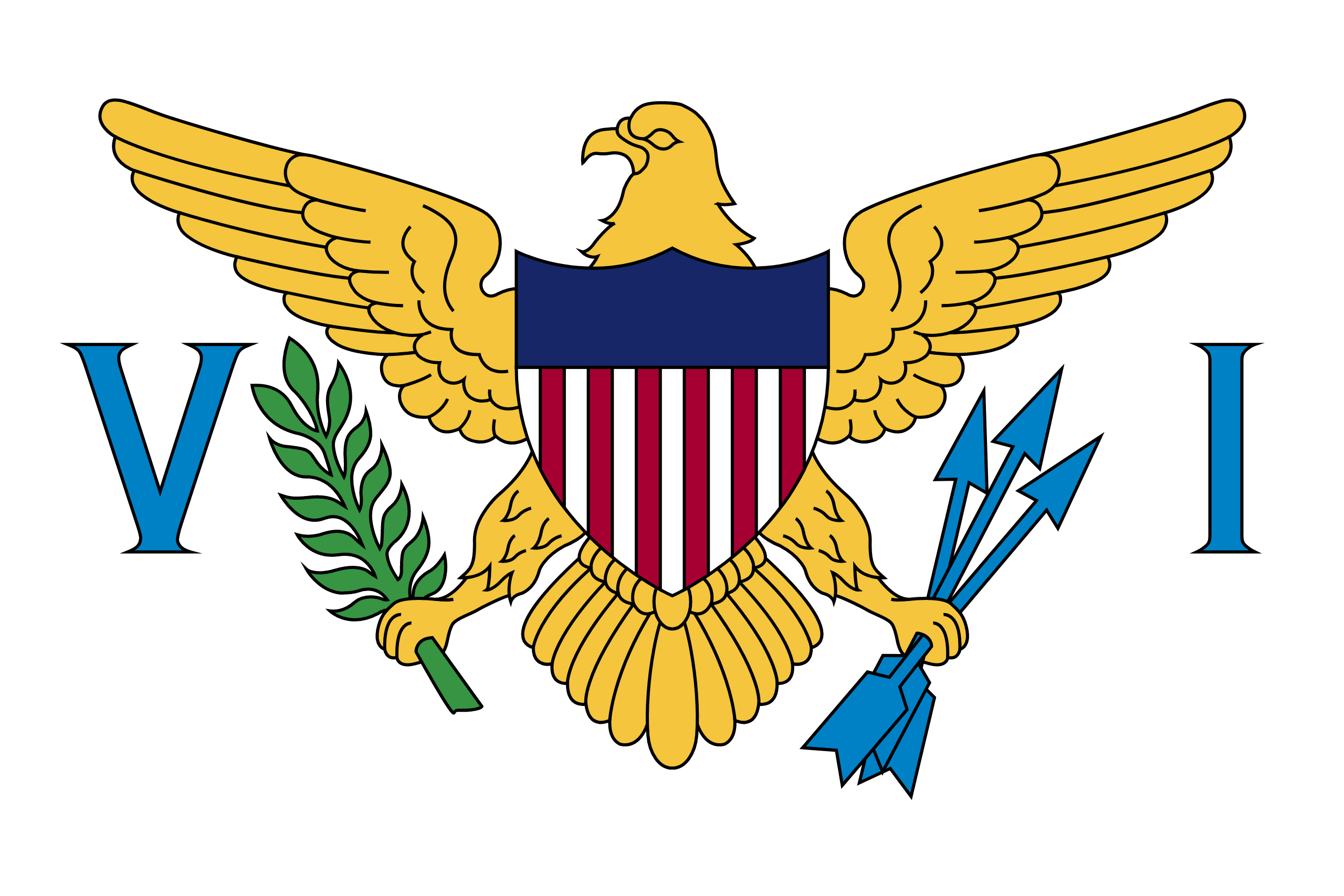
 US VIRGIN ISLANDS
The islands were named by Christopher Columbus on his second voyage in 1493 for Saint Ursula and her virgin followers. Over the next 200 years, the islands were held by many European powers, including Spain, Great Britain, the Netherlands, France, and Denmark-Norway.
Formerly the Danish West Indies, they were sold to the United States by Denmark in the Treaty of the Danish West Indies of 1916. They are classified by the UN as a Non-Self-Governing Territory, and are currently an organized, unincorporated United States territory.
The U.S. Virgin Islands consist of the main islands of Saint Croix, Saint John, and Saint Thomas, along with the much smaller but historically distinct Water Island, and many other surrounding minor islands.
The main islands have nicknames often used by locals: “Twin City” (St. Croix), “Rock City” (St. Thomas) and “Love City” (St. John). The combined land area of the islands is roughly twice the size of Washington, D.C.
The US Virgin Islands are known for their white sand beaches, including Magens Bay and Trunk Bay, and strategic harbors, including Charlotte Amalie and Christiansted. Most of the islands, including Saint Thomas, are volcanic in origin and hilly. The highest point is Crown Mountain, Saint Thomas (474 m).
